


Someone’s got a really nasty mouth, but I won’t say who.
Xiao Jing is not only professional but also very nice. Throughout the process, she cares about the children and is very patient when guiding them to make journals. I've already recommended her to friends coming to Dali.
Thumbs up for her professionalism and attentiveness to small details 👍 and her love for plants 👍
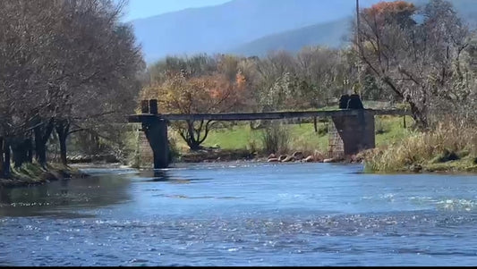
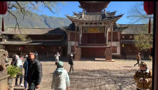
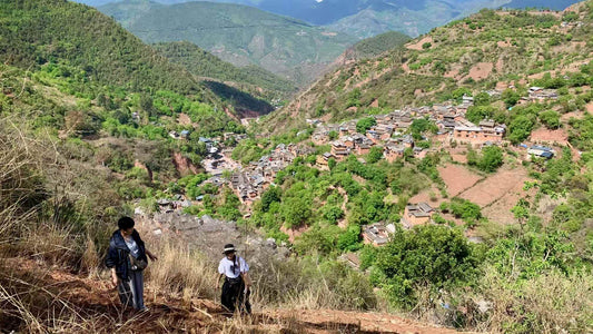
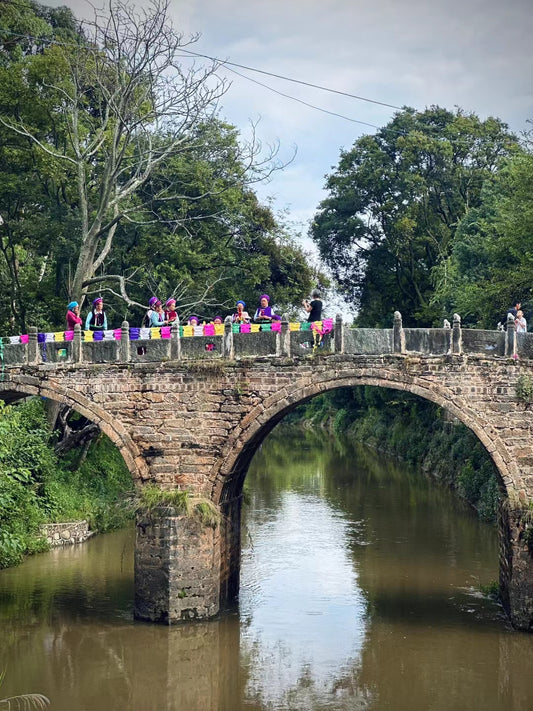
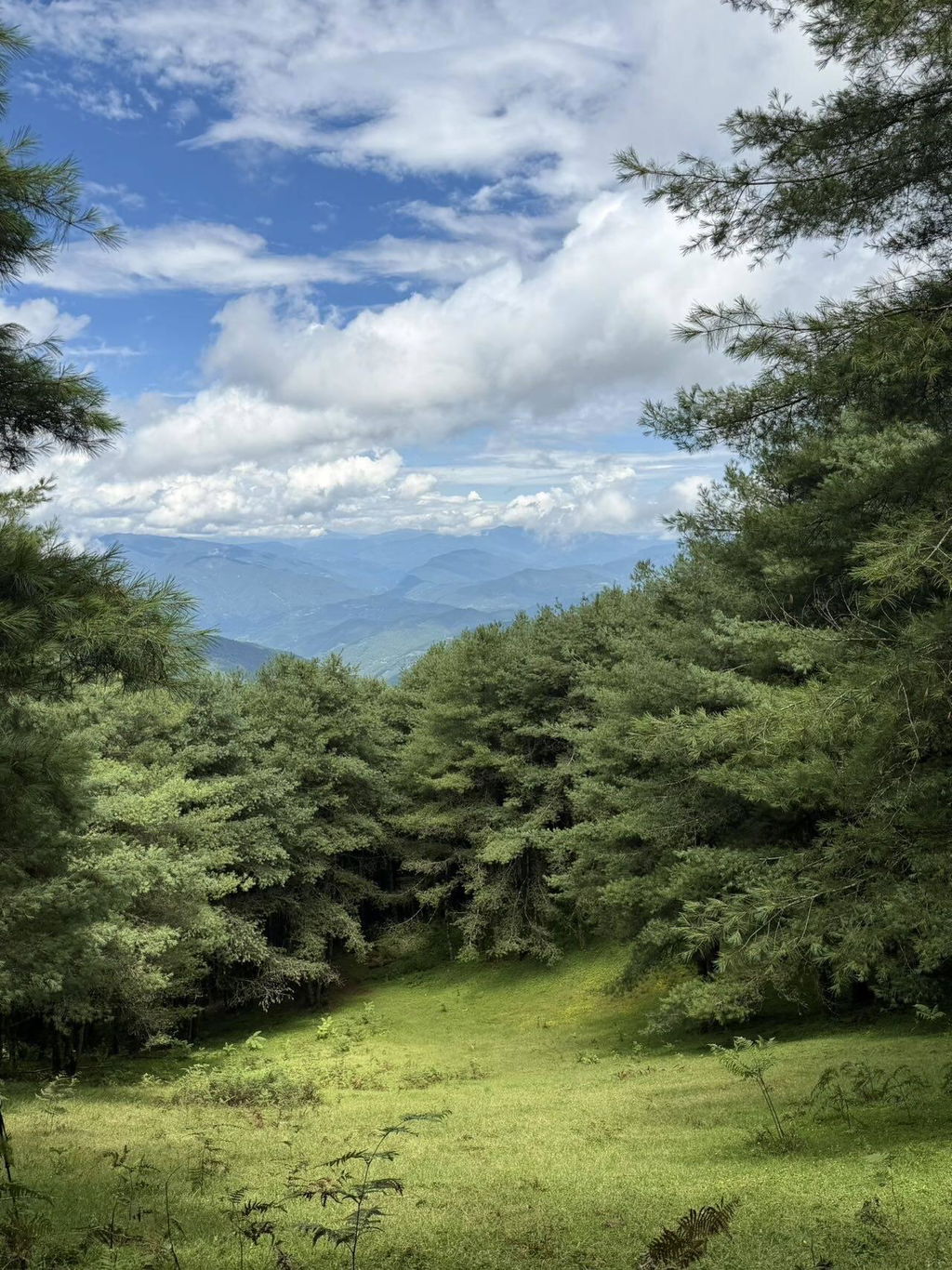
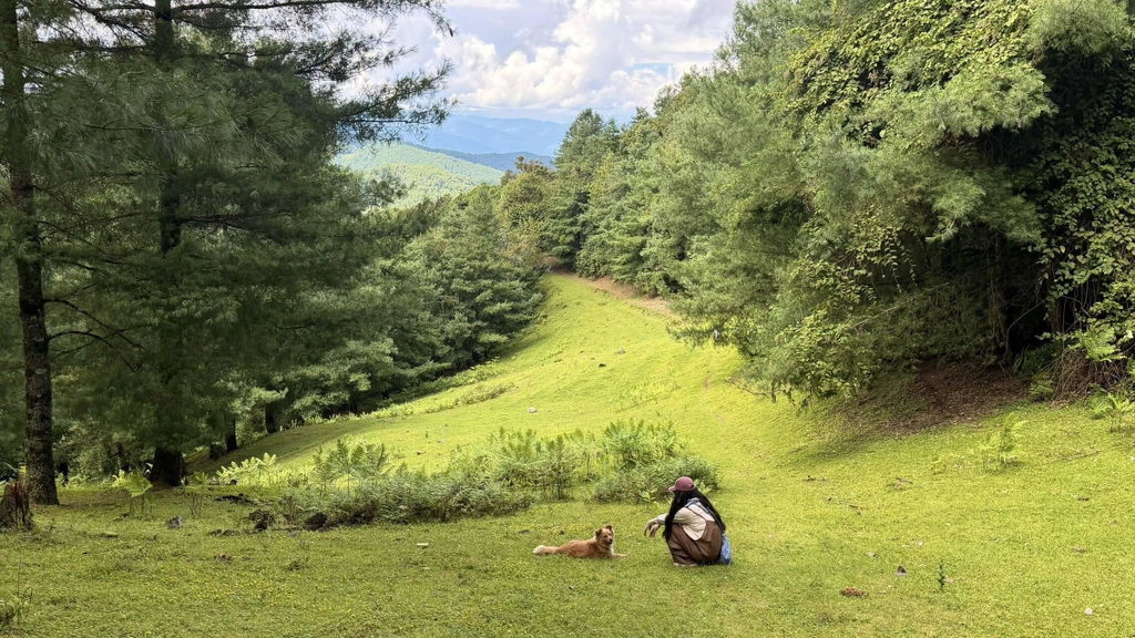
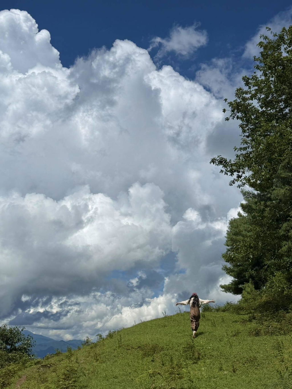
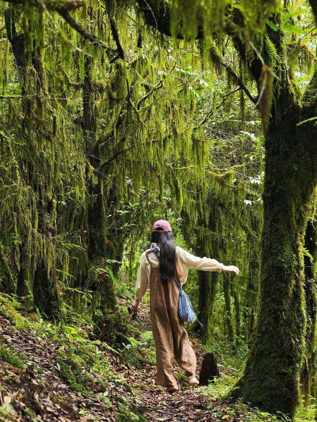
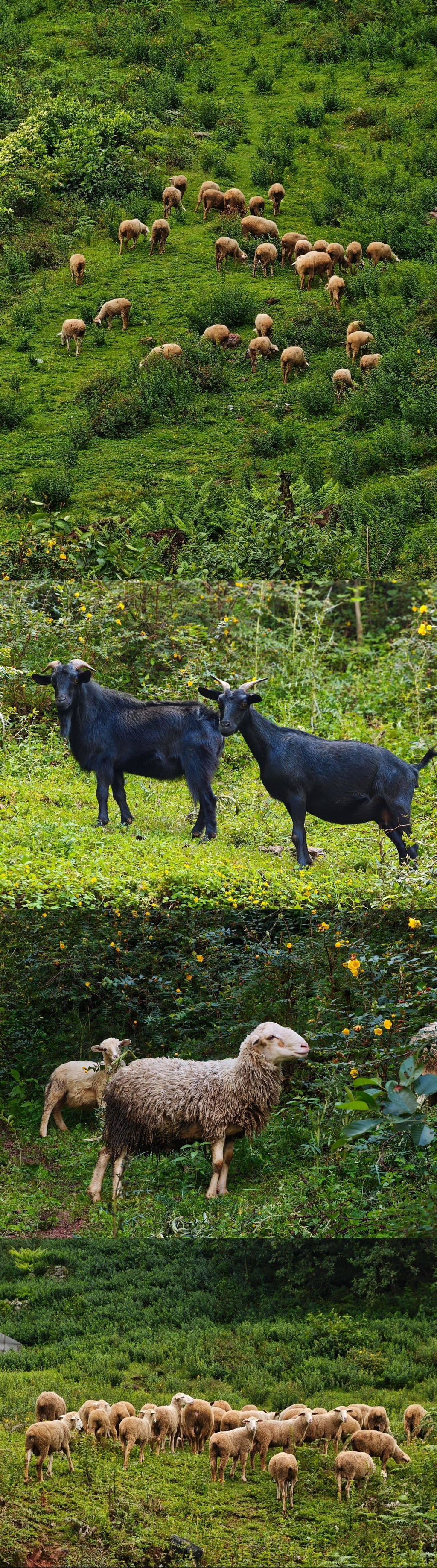
Sometimes words are overshadowed by the grandeur and beauty of nature, so let's let the photos speak for themselves.
Thanks to the dedicated guide Hanhan, who is not only excellent at photography but also very professional in plant science knowledge throughout the trip~ Thanks to the model 'prop' for being a gentle and obedient egg custard, grateful for the sky☁️ and the cows and sheep we encountered yesterday,
All of these have become unforgettable memories for me,
The healing power of the forest,
Has quietly grown in my heart.
The kids keep asking: Can we come again tomorrow? The day after tomorrow? Next year?
The adults keep asking: Are there still activities with Paris and Xiao Li? I want to join!
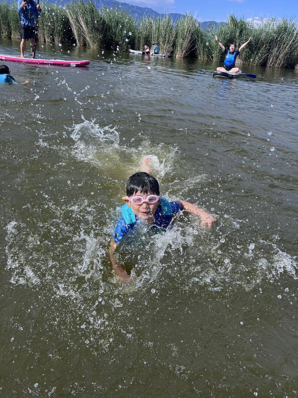
Coincidentally, our family is into sports, and we are super excited about booking paddleboarding~ We arrived 40 minutes early in the afternoon at Pushi to wait, and soon saw a tall guy with sports sunglasses, dressed very surf-style, with shoulder-length hair getting off the car~ I thought it was probably Xiao Li~
Sure enough, Xiao Li was holding a huge thermos filled with ice, ready to replenish energy with some happy drinks later
Soon after, the very chiu Paris arrived~ with an untamed aura, feeling like following him is the right choice
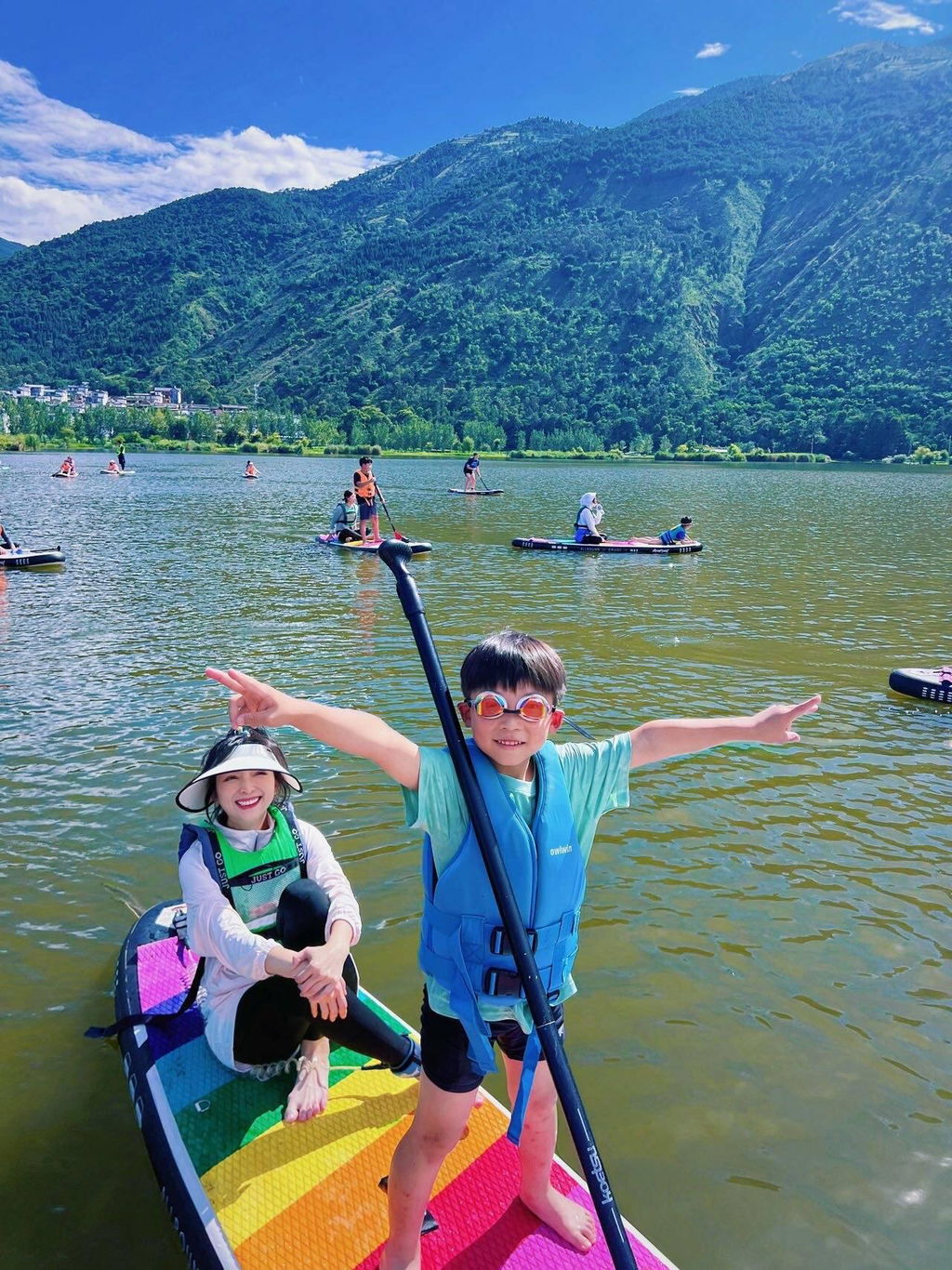
The activity is simply crazy~ The kids kept asking all the way: Can we jump into the water? Let's jump here! Can we swim here? Is it okay to swim for a long distance? Can I play on the coach's board?
Three kids keep jumping into the water, getting on the boat, jumping again, swimming
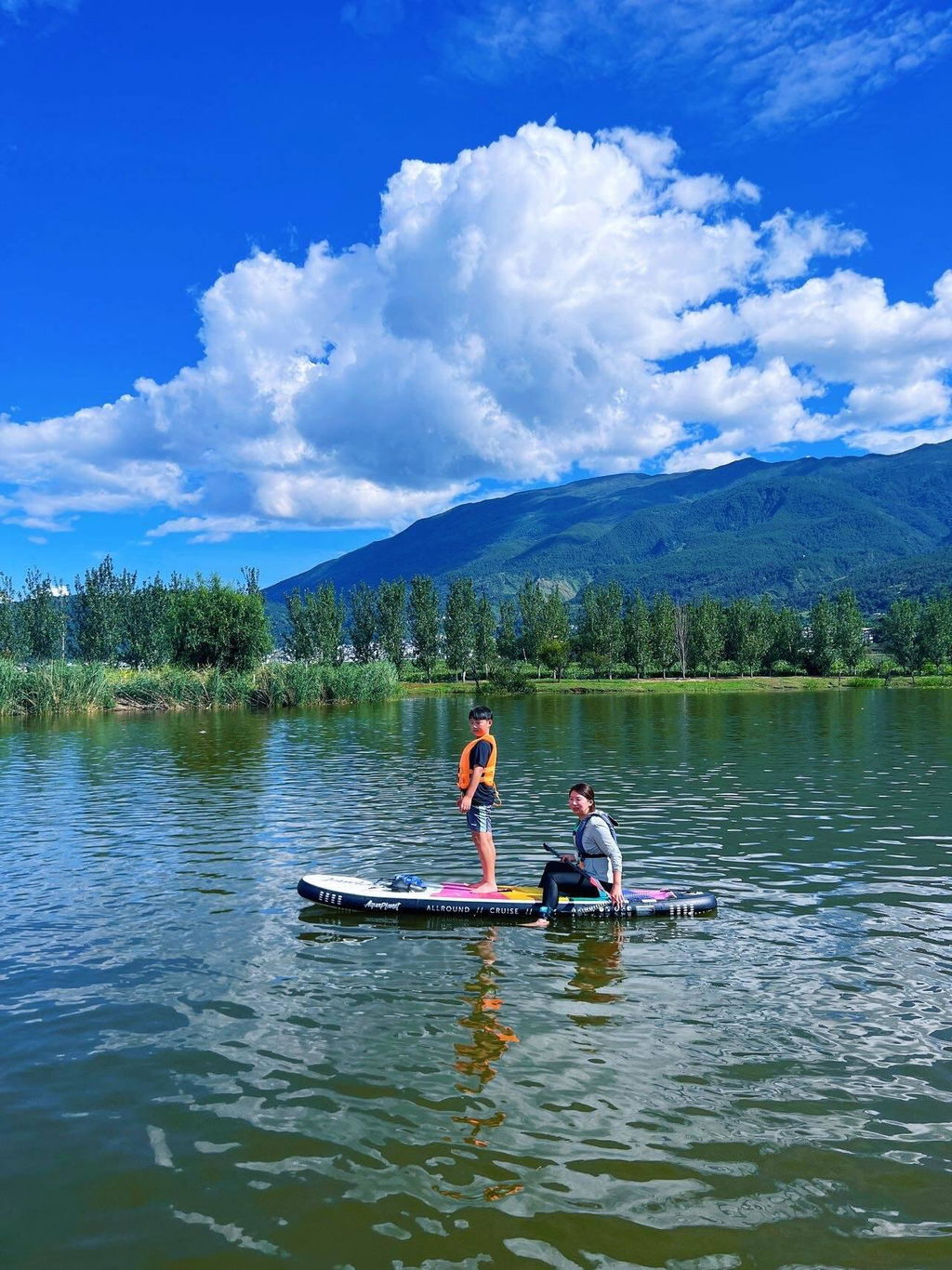
Even seven-year-olds can handle the paddleboard on their own and enjoy the lake with ease~ No swimming skills? No problem, paddleboards are very stable and much easier than surfing.
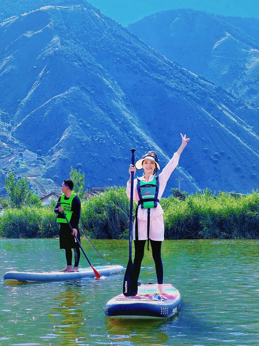
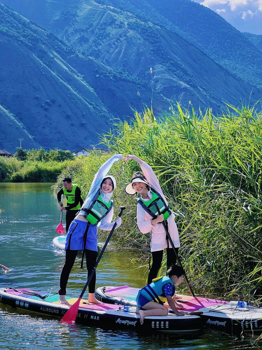
Over two hours of lake activities
Includes playful water splashing, jumping, swimming
Includes relaxing lying on the board, resting, accompanied by beautiful mountain lake views
Some photos even captured a rainbow🌈
It would be even better if there was wine + a bonfire after coming ashore.
Highly recommended!!
Paris, Xiao Li, DD are very easy to get along with! Friendly and easy to communicate
Whatever you want to play, as long as it's safe
They are all very willing to try with us!
By the way, Paris insisted on taking us to a dinner
Delicious! Worth it!
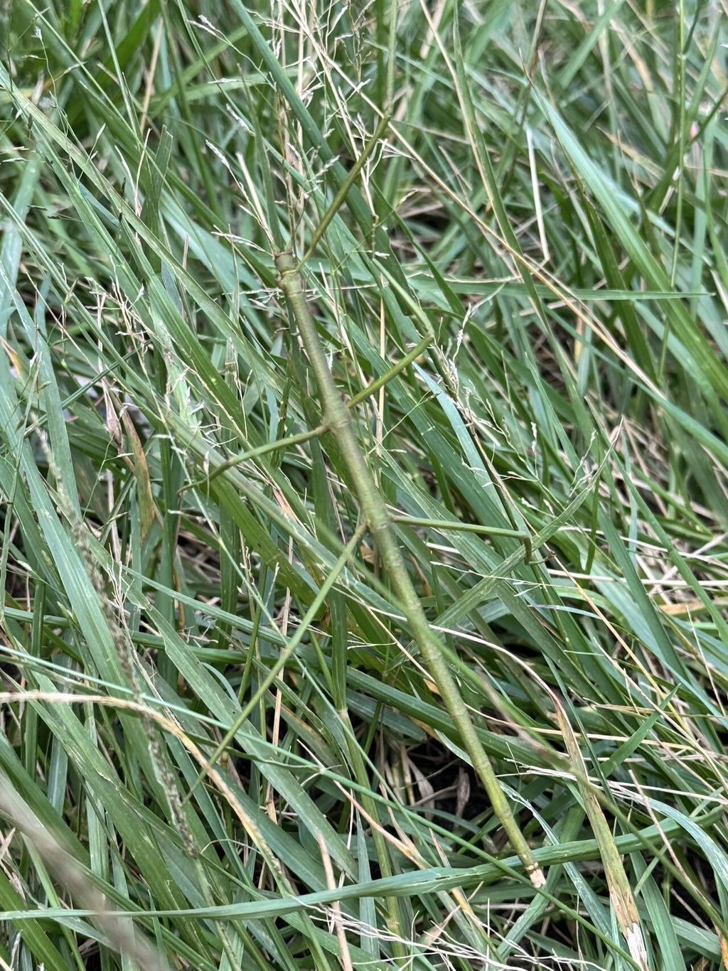
Very happy to explore the mountains and wilderness with Phoebe and Xiangyang✨ Encountered many plants and insects I've never seen before, full of surprises. After reaching the summit, enjoyed a leisurely picnic, feeling the especially comfortable breeze. The kids exclaimed with surprise: 'Is this a dream?' Many adults have long lost the simple joys, but children can always immerse themselves wholeheartedly. It was a wonderful experience.
A very healing light hike, guided by Teacher Wanwan, who is attentive and patient~
Carefully explained by Dad Chunyu, busy and diligent little bees, heavy honeycombs, and slightly bitter yet sweet fresh honey—very interesting activity experience.


